Marine Geospatial Ecology Lab
Working at the intersection of marine science, technology, management, and governance

About the Lab
The Marine Geospatial Ecology Lab has been at the forefront of marine spatial planning for the past two decades, studying marine ecology, resource management, and ocean conservation. We take marine analysis from data to decisions.
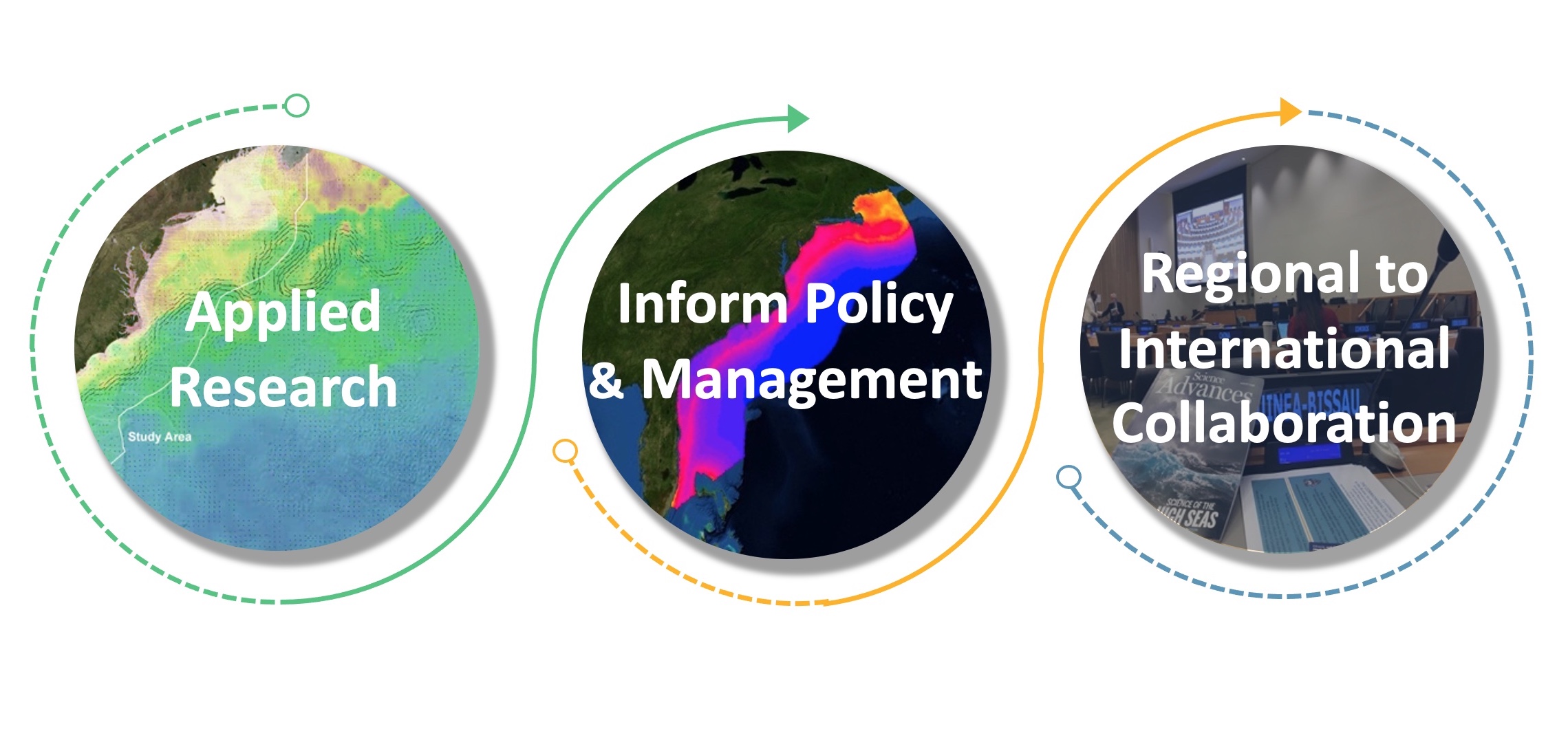
Our focus is on data analysis, and modeling linking biological, satellite, and ocean observing data to develop innovative analysis and visualization tools to inform management and ocean governance.
With locations at both the main Durham campus of Duke and at the Duke Marine Lab on Pivers Island in Beaufort, North Carolina, the lab works with students and faculty across disciplines.
Ocean Planning & Management: Marine-Life Data and Analysis Team (MDAT), Mid-Atlantic Ocean Data Portal, Northeast Ocean Data Portal, International Seabed Authority, Regional Environmental Management Planning, Ecologically and Biologically Significant Areas (EBSAs), Biologically Important Areas, Areas Beyond National Jurisdiction
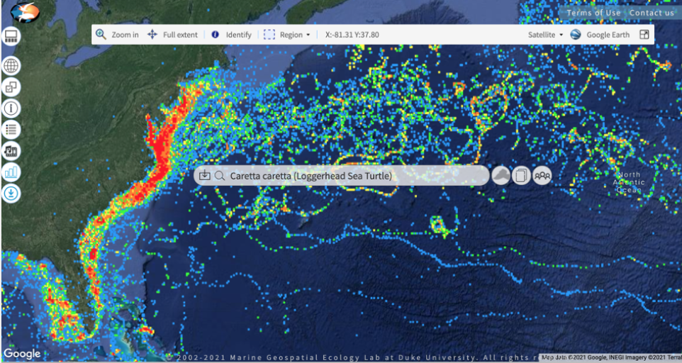
Marine Ecology: Marine Mammal Modeling, Fisheries Ecology, Sea Turtle Conservation, Marine Geospatial Ecology Tools
Blue Economy: Oceans at Duke, Wind Energy, U.S. Marine Cadastre
Flagship Tools & Datasets


Characterizing and mapping marine life in the Northeast region to support the Northeast Ocean Plan. Creating “base layer” distribution products for cetacean, avian, and fish species.


